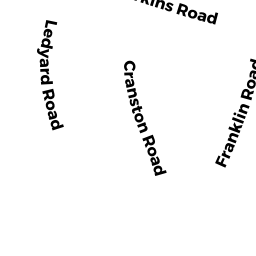
7 LEDYARD RD
Owner Information
QIN MIAN + LIANG FU
7 LEDYARD RD
WINCHESTER, MA 01890


Property Details
7 LEDYARD RD is classified as a Single Family Residential (Colonial).
The primary structure on this property was built in 2017. There are 4,043ft2 of built area within this property. There is 4,043ft2 of residential/living space within this property. This property is listed as having 8 rooms.
7 LEDYARD RD is valued at $1,480,100. The land is valued at $544,500 and the structures are valued at $935,600.
This property is in Zone RDB. Confirm with local Zoning Board authorities to ensure there are no overlays or other easements on this property.
7 LEDYARD RD was last sold on Friday, April 27, 2018 for $1,642,500.
Assessment data from fiscal year 2021.
Flood Data
According to the FEMA National Flood Hazard Layer, this property does not appear to be in a flood zone. It may also be in an area not yet reviewed. Nonetheless, confirm this information prior to taking any action.
To view the flood hazards around this property, create a FEMA "Firmette" Map of the area around 7 LEDYARD RD.
Broadband Internet Providers
| Provider | Type | Bandwidth (mbps) | |
|---|---|---|---|
| HughesNet | Satellite | 25 | 3 |
| Comcast | Cable | 1000 | 35 |
| Viasat Inc | Satellite | 100 | 3 |
| GCI Communication Corp. | Satellite | 0 | 0 |
| Verizon New England Inc. | Fiber | 940 | 880 |
| VSAT Systems, LLC. | Satellite | 2 | 1 |
Broadband service provider data from December 2020.
Adjacent Properties
- 9 LEDYARD RD
Single Family Residential owned by CATALANO JOSEPH R + ANGELA R - 2 ALLEN RD
Single Family Residential owned by PHILLIPS KATHRYN + KEVIN M - 16 PIERREPONT RD
Single Family Residential owned by RICHMOND DONNA J - 10 ALLEN RD
Single Family Residential owned by BUSSEY LAURA JANE - 8 ALLEN RD
Single Family Residential owned by FITZPATRICK PAUL D + MARY J